
Description
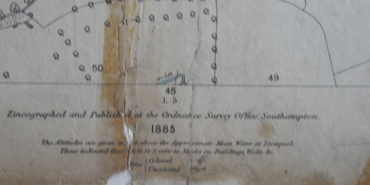
Ordnance Survey map of Badsey, 1885 edition, Worcestershire (Eastern Division), Sheet L.1. Surveyed 1883. Zincographed and published at the Ordnance Survey Office, Southampton, 1885, scale 1:2500.
Year created
1885
Publication Date/Date Made
1885
Physical Characteristics (Dimensions)
103 cm x 72 cm
Physical Characteristics (Description)
1 sheet of parchment paper, folded and sellotaped, torn and coming apart - very fragile
Supporting Information
Henry King was a Surveyor who had a practice in Evesham.
Donor or Creator of Records
Anne King
Provenance
Previously in the possession of Anne's late husband, Henry King
Nature of Acquisition
Gift
Accession Date
2008
Access Conditions
Contact Archive Manager
Reference
354/LB/MAP/A