
Description
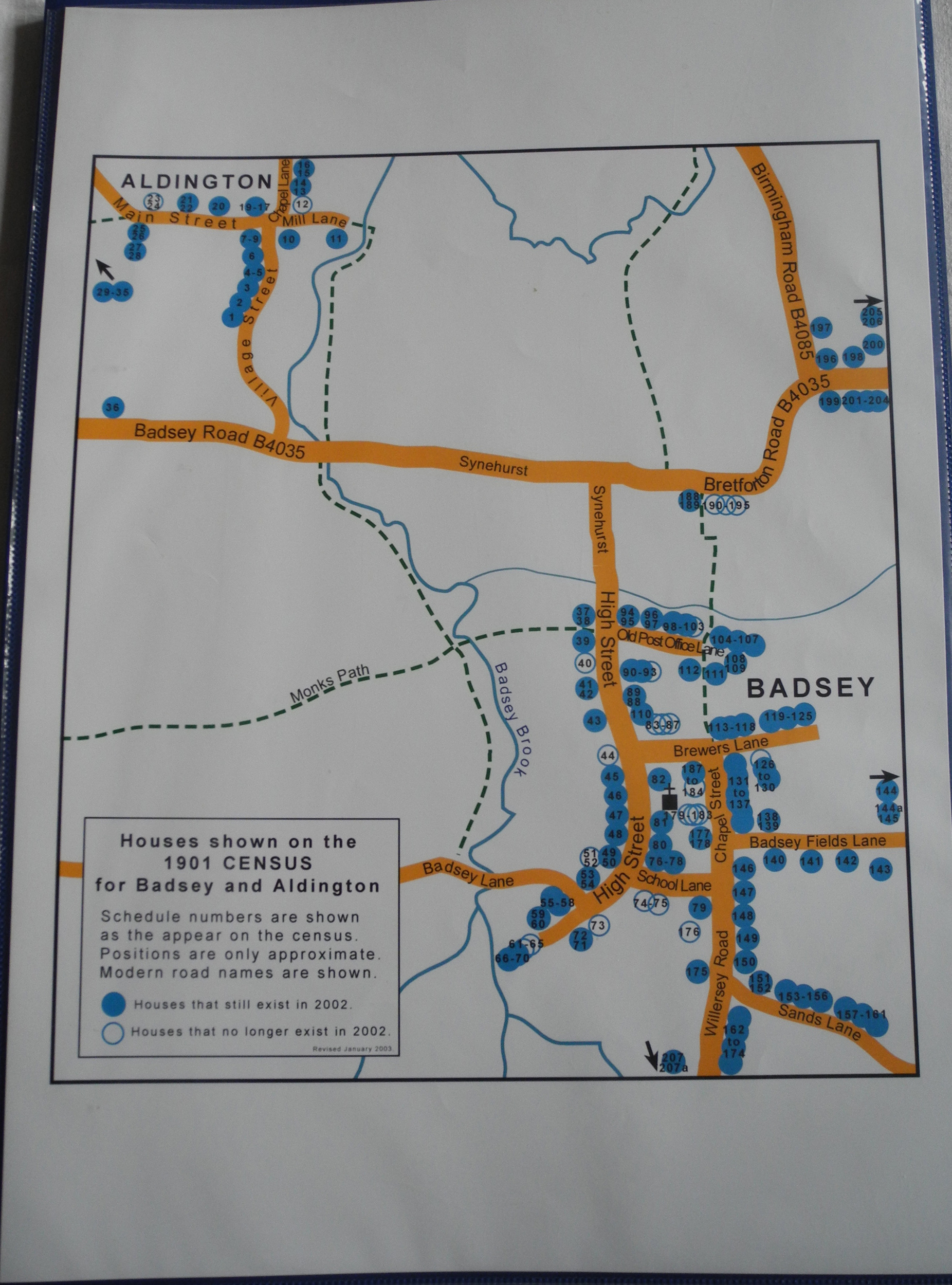
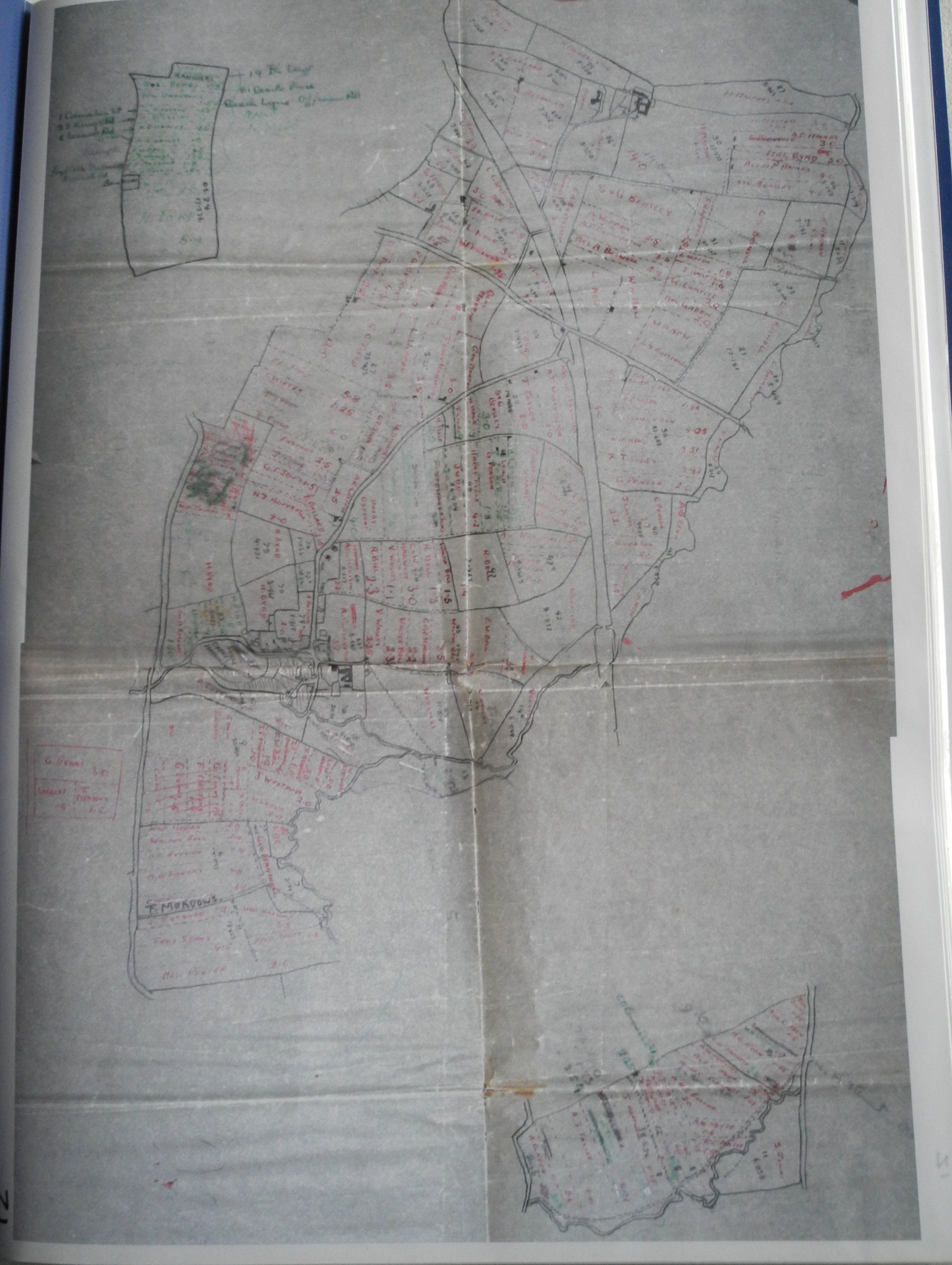
Folder containing copies of miscellaneous maps: 1944 Farm Survey taken from maps held at The University of Worcester; maps showing the geography of Badsey Brook; 1885, 1904, 1923, 1938, 2007 Ordnance Survey; suggested cycle routes in the Badsey area; copies of some aerial photographs. On front cover, map of Badsey showing location of houses in the 1901 census.
Year created
2006
Publication Date/Date Made
Copies made in 2006
Physical Characteristics (Dimensions)
43.5 cm x 31 cm
Physical Characteristics (Description)
Blue plastic folder with A3 sheets in plastic inserts
Donor or Creator of Records
The Badsey Society
Provenance
Badsey Society records
Nature of Acquisition
Collected for the Archive
Accession Date
2006
Access Conditions
Contact Archive Manager
Reference
2398/LB/MAP/A/X