
Test Pit 1
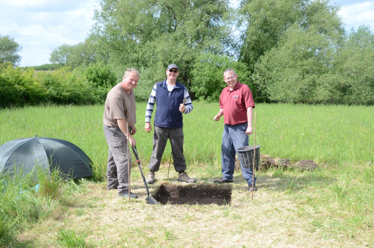
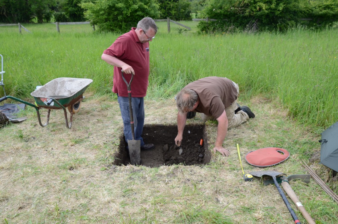
Day 1 – In a field in the north of the village, Alan, Michael and Paul, are making good progress towards the end of Day 1. An archaeologist with GPS (Global Positioning System) equipment arrives to establish the exact position of the test pit by taking a spot height and plotting the four corners. Alan has a clever idea for covering their test pit until work starts again the next day.
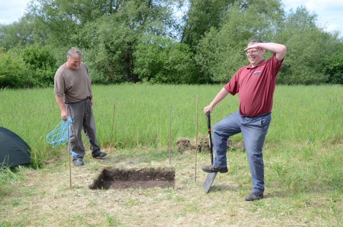
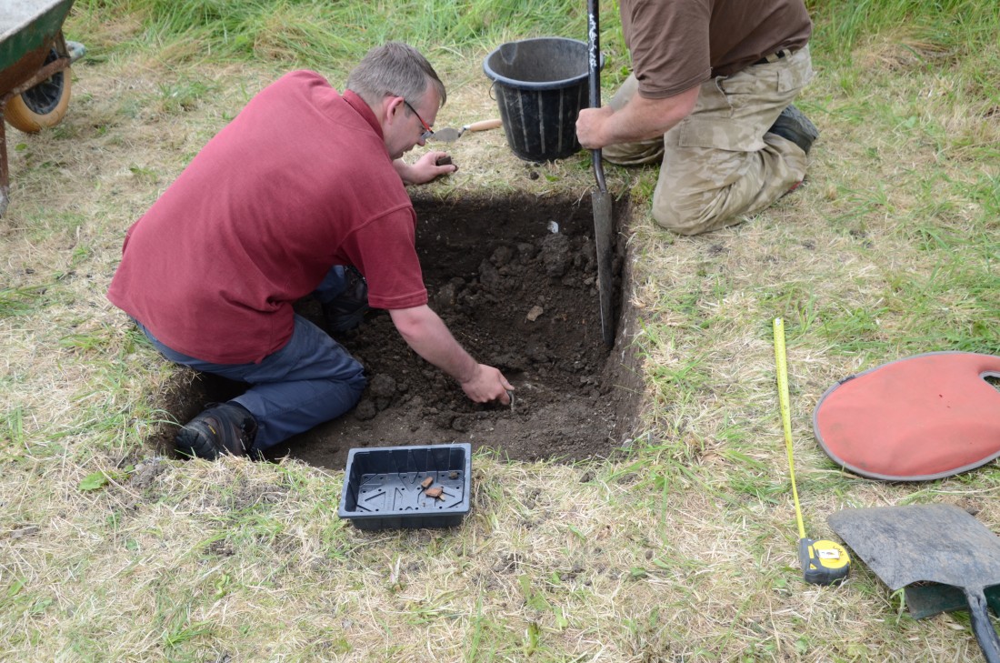
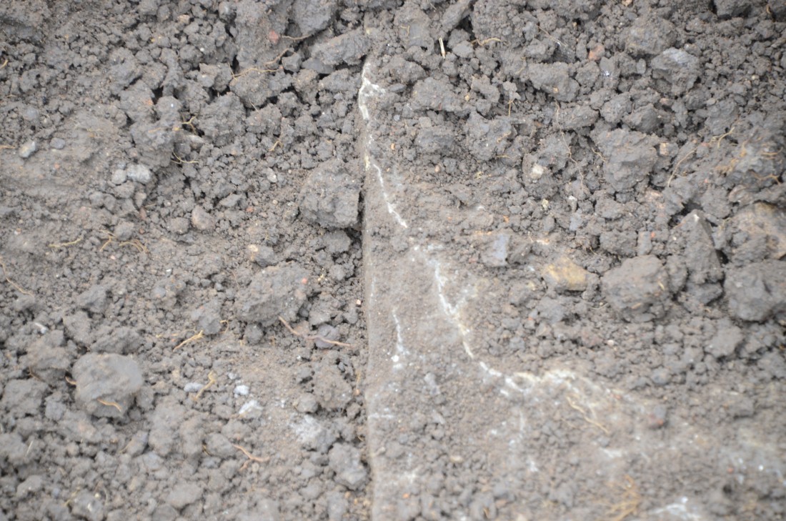
Day 2 – As the day draws to a close, Paul and Alan take a decision to excavate just a section of the pit, in order to have time to dig down as far as possible. It’s 2.30 and just half an hour before all digs are supposed to be stopping, so that there is time for recording and filling-in, but Alan’s trowel hits something hard. Is it just a slab of stone, or something else? It certainly looks as though it might be a section of a wall – possibly Roman, as small pieces of tesserae and Samian ware had been found earlier in the day. Time to call the archaeologists and ask them to come for a site visit. We await with bated breath to find out what this might be.
Day 1 - Alan and Paul by the test pit
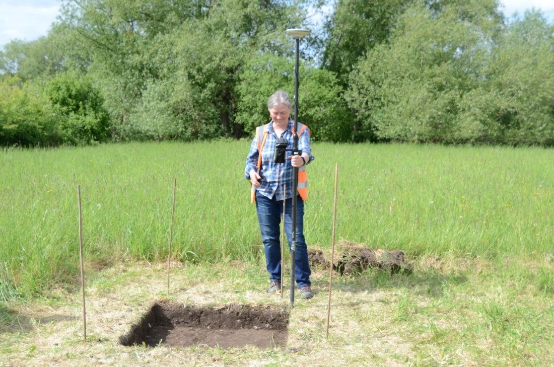
Day 1 - An archaeologist plots the location using GPS
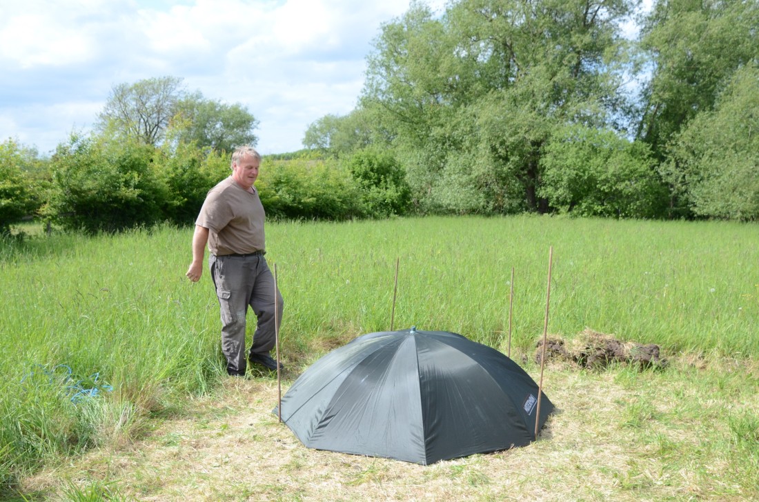
Day 1 - Alan's ingenious method of covering the test pit
Day 2 - The trowel hits something hard
Day 2 - Is it just a stone slab?
Day 2 - Looking promising!
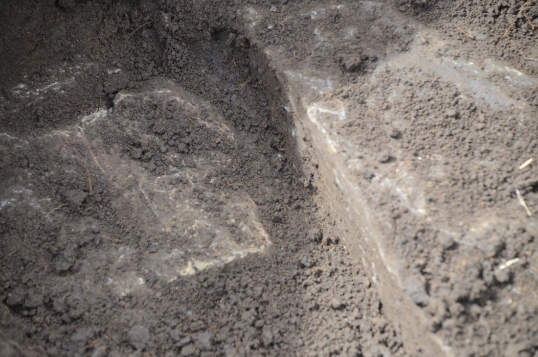
Day 2 - Definitely looks like a wall
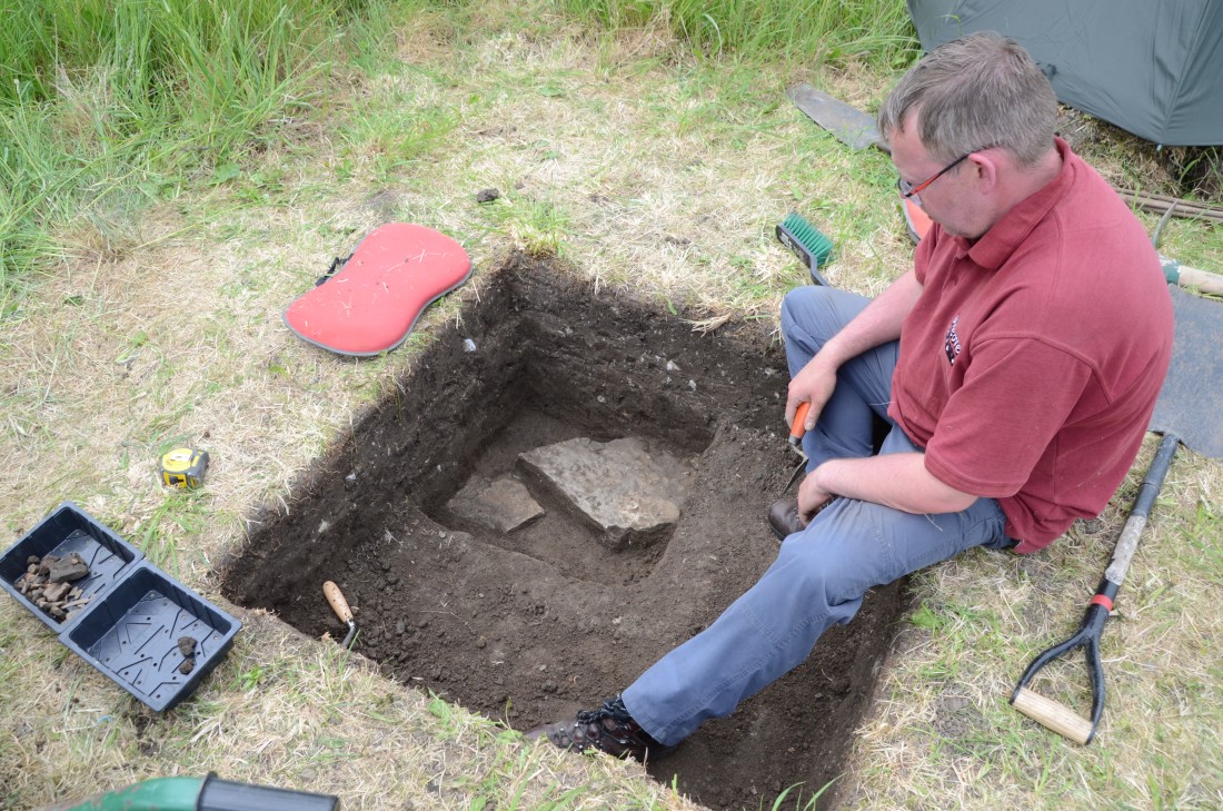
Day 2 - Paul admires this last-minute find
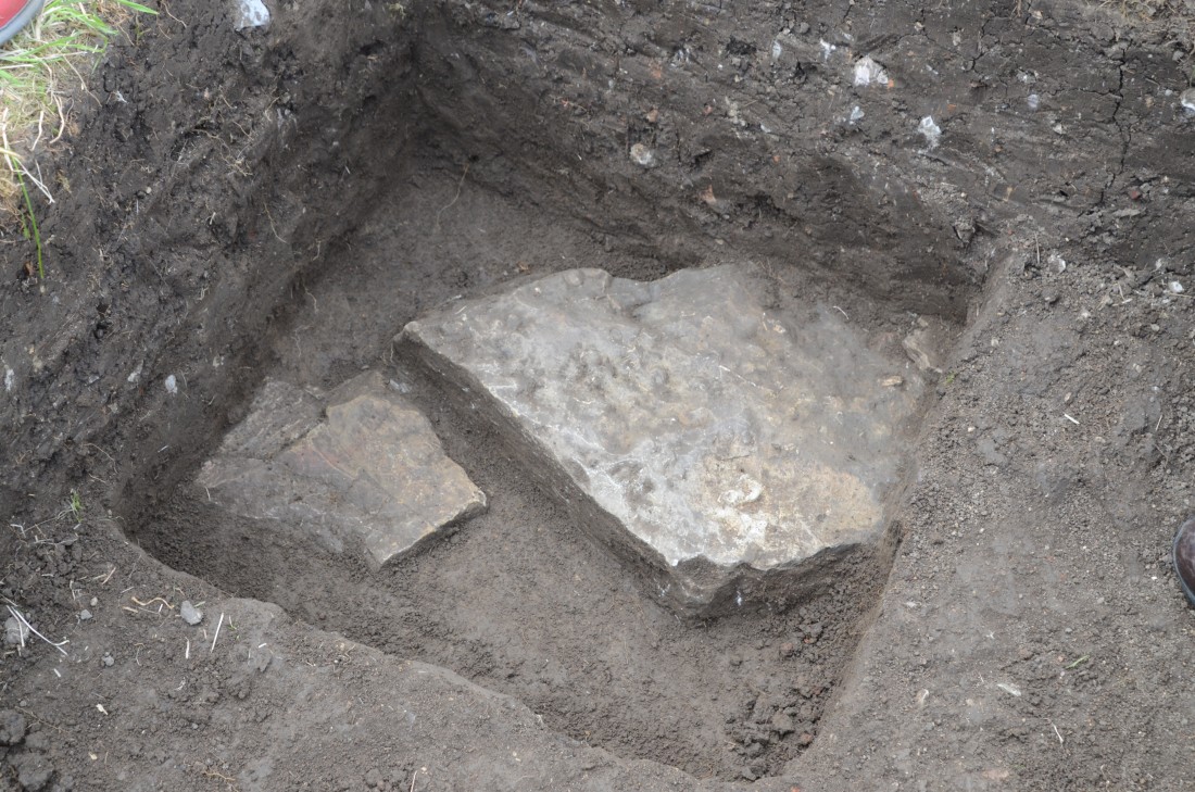
Day 2 - But is it Roman?

Day 2 - Photographer's assistant Maureen helps with sieving