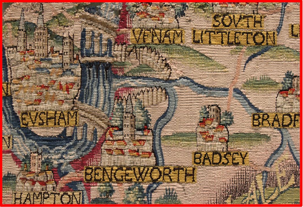
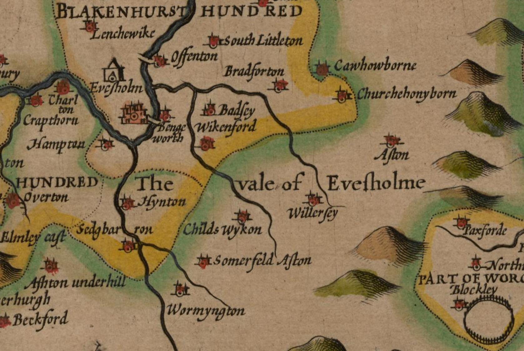
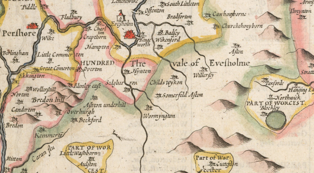
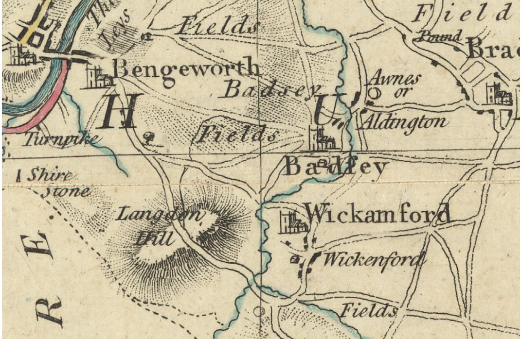
This event was presented twice: once in person on 28th April and once via Zoom only the following week. Maureen Spinks, in her introduction, explained a little bit about Richard Phillips’ legacy and his key role in the set-up of the original Badsey website and the subsequent founding of The Badsey Society. He loved maps and so would greatly have appreciated David Ella’s talk. David then began his illustrated talk telling us about the oldest county maps of Worcestershire, and how they show Badsey, Aldington, Wickhamford and the other local villages. He began with the earliest county map made by Christopher Saxton in 1577, then took us back further to the Evesham Map of the World drawn at Evesham Abbey in 1390. He explained that looking at Anglo-Saxon Charters helps to explain the reasons for the strange border between Worcestershire & Gloucestershire. Looking at other 17th and 18th century maps – including the famous John Speed map of Worcestershire – David told us how they were surveyed, engraved and printed. Before and after the talk there was a chance to see a table-top display of original county maps 1610-1830, and the two local John Ogilby road maps from 1675.